The Challenge
What Mabat3D Was Facing
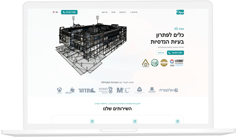
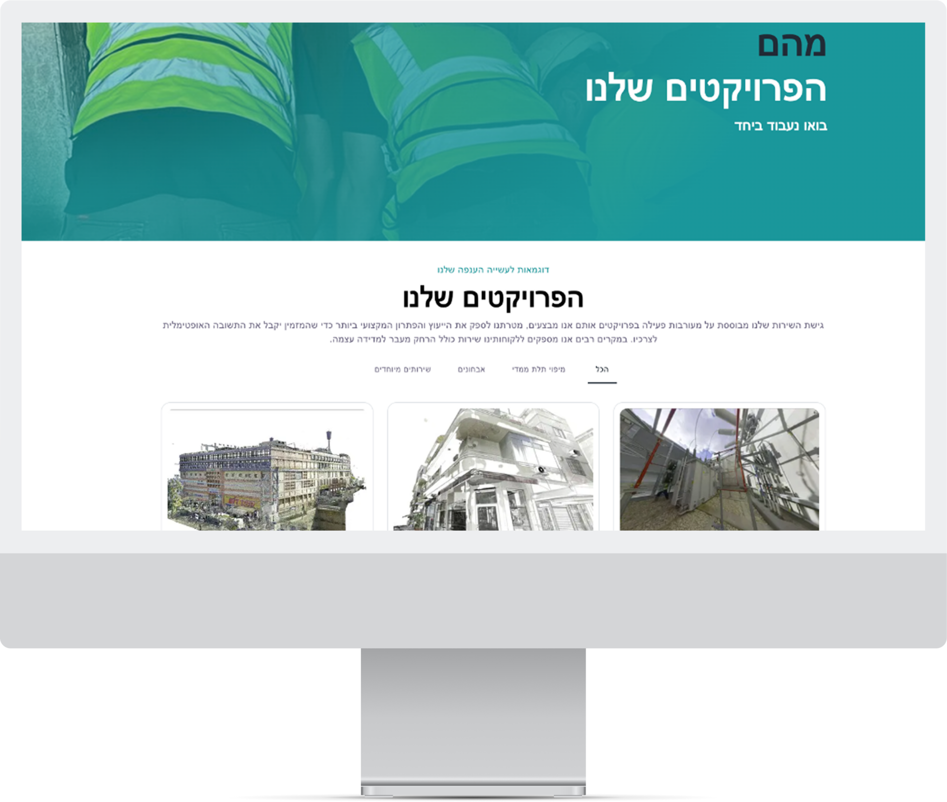
Mabat3D produced high-resolution 3D point cloud scans of infrastructure assets — tunnels, bridges, utility networks — that needed to be integrated with both AR visualisation tools for field engineers and asset management databases for maintenance planning. Point cloud data was generated in proprietary scanner formats that were incompatible with the target AR platforms, and the asset metadata extracted from scans needed to flow into an existing asset management system with a completely different data schema. Manual conversion and data entry was the only process, taking 3-5 days per scan set.
The Solution
What We Built
We built a point cloud processing pipeline that ingested proprietary scanner formats and converted them to standard formats (e3d, glTF) compatible with the target AR rendering engines. A metadata extraction service parsed scan outputs to identify asset features — dimensions, surface conditions, feature coordinates — and mapped them to the target asset management system schema through a configurable field mapping layer. The pipeline ran automated validation to verify geometric accuracy post-conversion before either output was marked available, preventing corrupted data from reaching field engineers or the asset register.
Results